Note
Click here to download the full example code
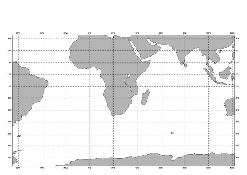
south_atlantic_and_indian_ocean
area_name = “south_atlantic_and_indian_ocean”
magpye has a list of predefined geographical areas.
Options are available to customise your Coastlines.
from magpye import GeoMap

map = GeoMap(area_name="south_atlantic_and_indian_ocean")


map.coastlines(land_colour="grey")
map.gridlines(line_style="dash")
map.show()


# sphinx_gallery_thumbnail_path = '_static/geoareas/south_atlantic_and_indian_ocean.png'
Total running time of the script: ( 0 minutes 0.000 seconds)